Developing with MapWeave
The geospatial visualization SDK that uncovers every connection
What is MapWeave?
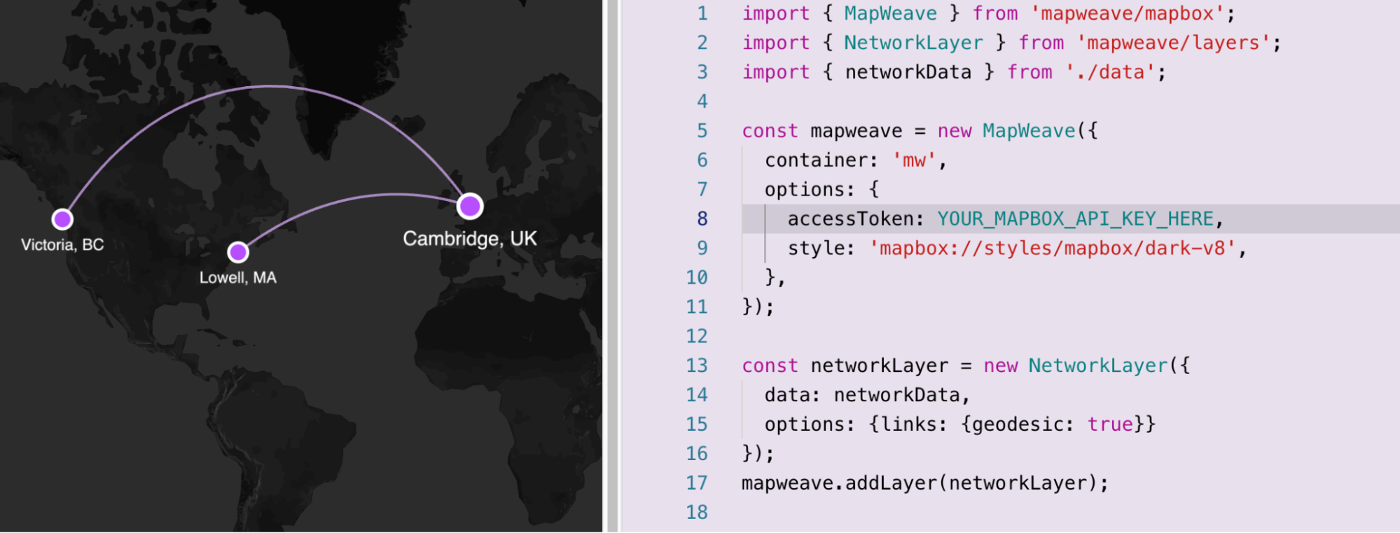
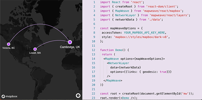
MapWeave is a toolkit for visualizing geospatial data. It integrates with popular basemap providers such as Mapbox, and you can use it without any external dependencies in ‘standalone’ mode.
Choose a tile source – vector or raster, public or offline – and then add rich visualization layers to bring your connected data and geospatial observations to life.
MapWeave sits entirely in the front end of your application. It works with any data store – developers simply provide data to each layer in an intuitive JSON format.
How does MapWeave work?
MapWeave has a plain JavaScript API which you can adapt to any framework. There’s also a React component that you can quickly and easily drop into React applications. Whichever you choose, both come with optional TypeScript support.
Why develop with MapWeave?

Dedicated data layers
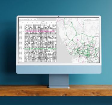
Combine networks, movements and geospatial boundary data in an exceptional visualization user experience.
Each of MapWeave’s dedicated layers can be configured independently, allowing you to create rich user interactions and ensure your data looks great at any zoom level.

A great developer experience
A fully-documented API, TypeScript support and detailed starter guide are all provided in the MapWeave SDK site. You’ll also find inspirational showcase demos, interactive example code snippets and a fully featured live coding Playground to give you everything you need to learn MapWeave fast.
If you need technical support, the team that built the MapWeave toolkit is on hand.

Flexible architecture
MapWeave’s open architecture is compatible with a huge range of map tiles and basemap libraries.
Overlay satellite imagery, import 3D assets, use 3rd party services or host an offline tile server – the choice is yours.

Outstanding performance
Taking advantage of GPU-assisted rendering and filtering, MapWeave is optimized for big datasets, comfortably scaling to millions of timestamped observations.
Build applications that can handle the scale and complexity of geospatial data without bottlenecks.
Learn more about our geospatial SDK
Building stand-out apps with MapWeave is fast, simple and rewarding.
Trusted by developers
Many high profile applications around the world use our visualization technology.


Cambridge Intelligence has been a great partner to work with. They provided design examples, interactive sandbox options, and optimal ways to graph for our varied data scenarios. They’ve been very responsive and helpful whenever the developers have had questions or issues, and continue to understand our use cases and ensure we’re following best practices.
Jacob Wagh, Director of Product Management at SpyCloud
Any browser, any device
MapWeave works in all major browsers on desktops, tablets or cell phones.